1/22/25 Forecast
It’s been too dang sunny for too dang long. It’s January isn’t it? Well, for the first time since early January, the region will finally get a shot at some light snow showers.
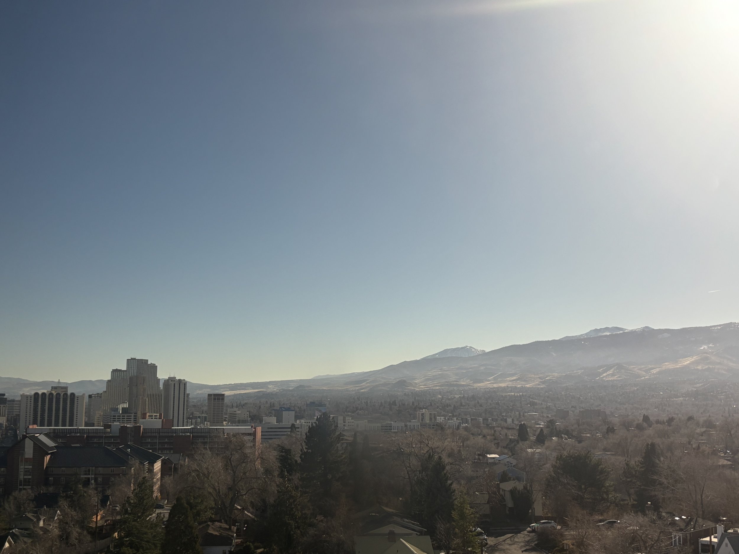
Taken January 22nd on the top floor of The Dean Reno. Not a cloud in the sky.
Thursday

500mb map depicting a high pressure system sitting off the coast of the Western U.S.
Thursday’s weather will continue to be influenced by the long-standing ridge of high pressure that has parked itself off the coast of the Western U.S. for at least the past week. We’ll see (or at the time of reading this already seen) a morning inversion under these severe clear conditions

Wednesday 23z HRRR’s depiction of Thursday morning’s inversion on a skewT/logP
Thursday’s highs will be similar to the early week highs, staying in the low 50s. It’ll feel much nicer due to the sunny conditions. Winds will stay light and variable. Temperatures will drop into the high 20s during the night.
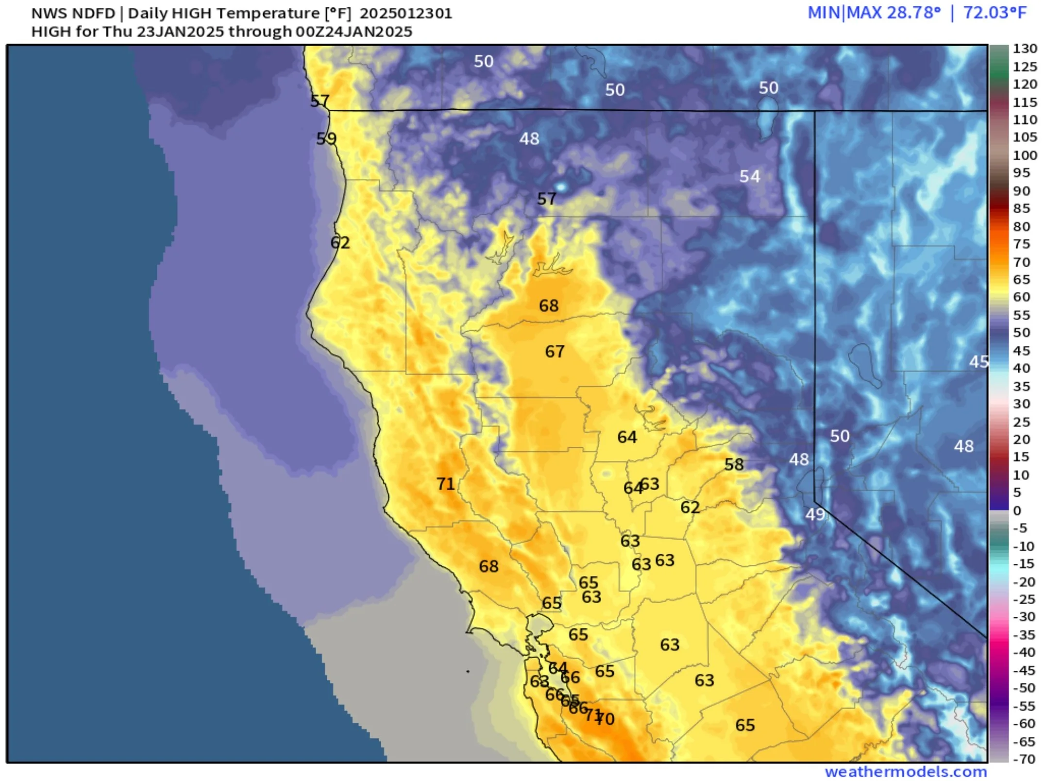
Temperature maximums for Thursday
Friday

500mb map showing the upper-level low swinging down from the Intermountain West
As the low pressure system swings southward, winds will pick up beginning early afternoon, maxing out around 15-25mph by the evening. Highs will stick in the mid 50s during the day. As the cold front passes through the region in the evening (8-10pm), temperatures will drop below freezing.

Temperature maximums for Friday
The NWS discussed that the path of this low will significantly effect the precipitation impacts this system brings to Western Nevada. As of this writing, they slightly favor the scenario in which the low pressure drops west into California, bringing a better chance of snow. The Euro model brings the low slightly more east into the Great Basin while the GFS model brings the low into the Sierras


As of Wednesday night, the short-term models are not currently within range to get an accurate precipitation forecast. We’ll have to resort to the global models to get an idea of where the precipitation set up.
Saturday


The GFS shows the deformation band setting up around the I-80 corridor bringing snowfall as early as 10am Saturday and sticking around until that evening.
The Euro shows the deformation band setting up in roughly the same place and the same time, just slightly more south. Shower coverage is more spotty with the Euro’s solution for Reno.
Highs will plummet into the low 30s with overnight lows in the teens.
Snowfall Forecast

NWS NDFD snowfall forecast out to Sunday morning
Snowfall amounts will be boom-bust with the system. The NWS outlined a potential from anywhere between no snow at all or up to 4 inches for Western Nevada. Freezing levels shouldn’t be a problem with the storm as the air brought in will be plenty cold.
I currently have a range of 0-3 inches for anywhere in the Reno-Sparks area, with chances beginning Saturday morning and dropping off by Sunday morning.
Sunday and Beyond
The main message beyond our little snow maker is the cold temperatures that will remain into early next week. Sunday and Monday will have daily highs well below average, but skies will clear out and winds will calm down creating conditions similar to the ones we’ve experienced for the past couple of days now

Key Messages
Mild days and cool nights continue up until Friday night
A low pressure dropping in Friday night will bring gusty winds, below average temperatures, and a chance at some long-needed snow showers
As the next week begins, temperatures stay low, but rise as the week goes on